SR-88 is located only 30 minutes away from San Francisco. While the place is open to public from 12:30pm to 3:30pm Thu, Fri, and Sat, it is definitely better to arrive before 2pm because site tours times can change depending on the number of rangers/volunteers present. And tour is a must because the best part is not visible to the naked eye.
Latitude: 37° 50' 1.902" N
Longitude: 122° 29' 38.388" W
They call it an educational cold war museum. They also used to call it the last line of defense against the Soviets. The only thing I can think of is a quote mentioned by a park ranger:
"I know not with what weapons World War III will be fought, but World War IV will be fought with sticks and stones." Alber Einstein.
The site used to house 12 nuclear armed Hercules missiles that were supposed to shot Soviet Bombers to defend essential US assets (military installations). Around 288 sites were operational across the US. And it only cost 7 trillion dollars to develop the missiles.
The radar.
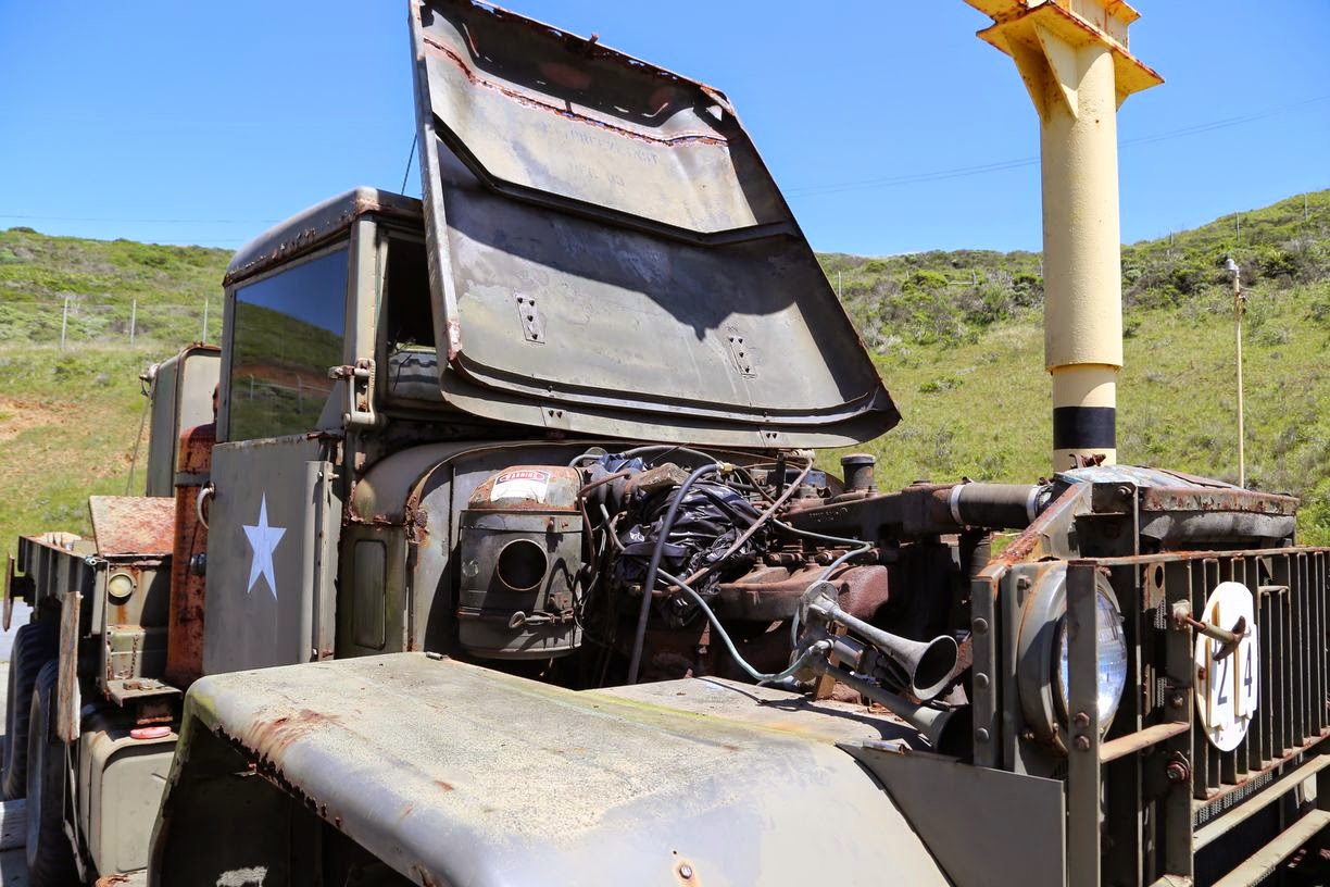
This military truck was fully functional a couple of years ago but needed some repairs now.
And that is a computer whose sole purpose was to calculate a missile trajectory.
That is the facility where missiles were armed with nuclear heads.
12 Hercules missiles are hidden deep underground.
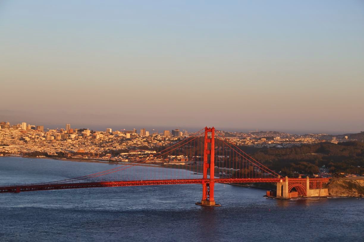
Point Bonita has one of the most beautiful views of the Golden Gate bridge and the city.
Latitude: 37° 49' 5.352" N
Longitude: 122° 31' 46.338" W
The lighthouse is open to public Sat, Sun, and Mon 12:30pm to 3:30pm. Be warned, arriving after 3:25pm is not recommended and the admission to the site is likely to be denied by the ranger.
They built the lighthouse a little bit higher and then realized that it was not visible during a heavy fog so they have moved it to its current location.
This tunnel was hand-made and it took 6 years to complete it.
A walking distance from the Marin Headlands Visitors Center
Latitude: 37° 49' 50.838" N
Longitude: 122° 31' 28.83" W
There is a trail that leads to the Rodeo Beach
Latitude: 37° 49' 37.35" N
Longitude: 122° 31' 56.838" W
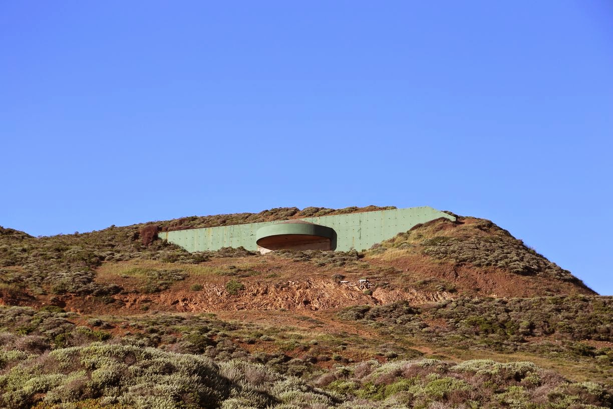
Next to the beach there is another trail that will take you to Battery Townsley (and some amazing views of the bay)
But the best views of San Francisco are just a couple of miles away.
Latitude: 37° 49' 41.082" N
Longitude: 122° 29' 51.708" W
Point Bonita full-moon tour is a well kept secret.


